
We make maps to fight wildfires.


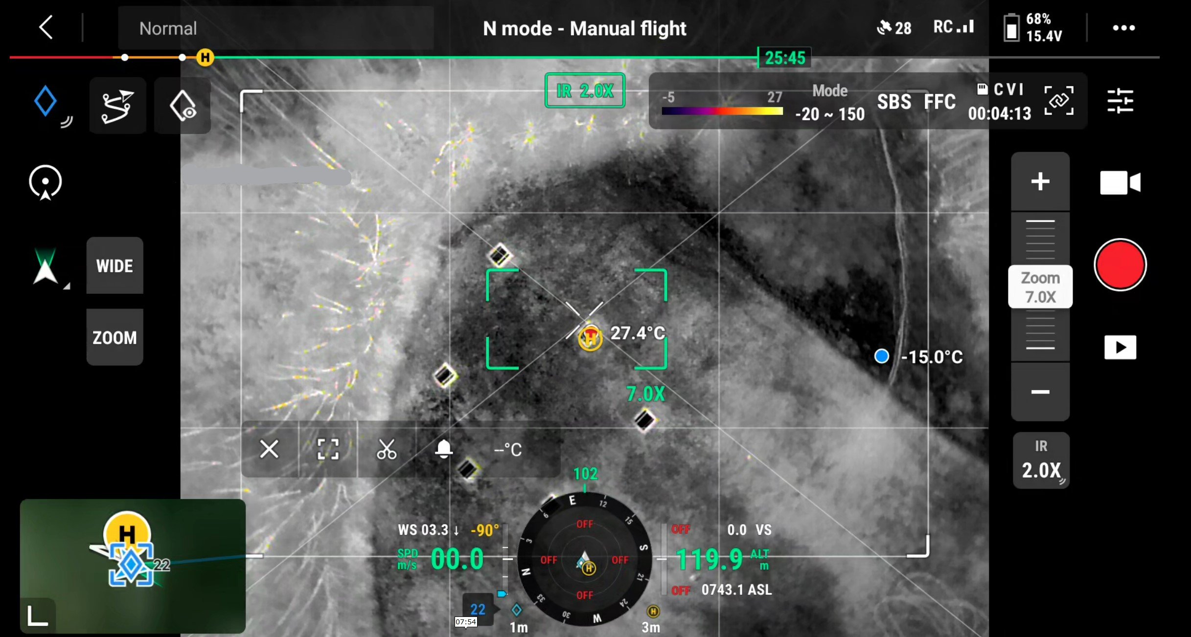
Our world is getting hotter. We’re here to help firefighters win.

Rapidly deployable. Reliable. Cutting edge.
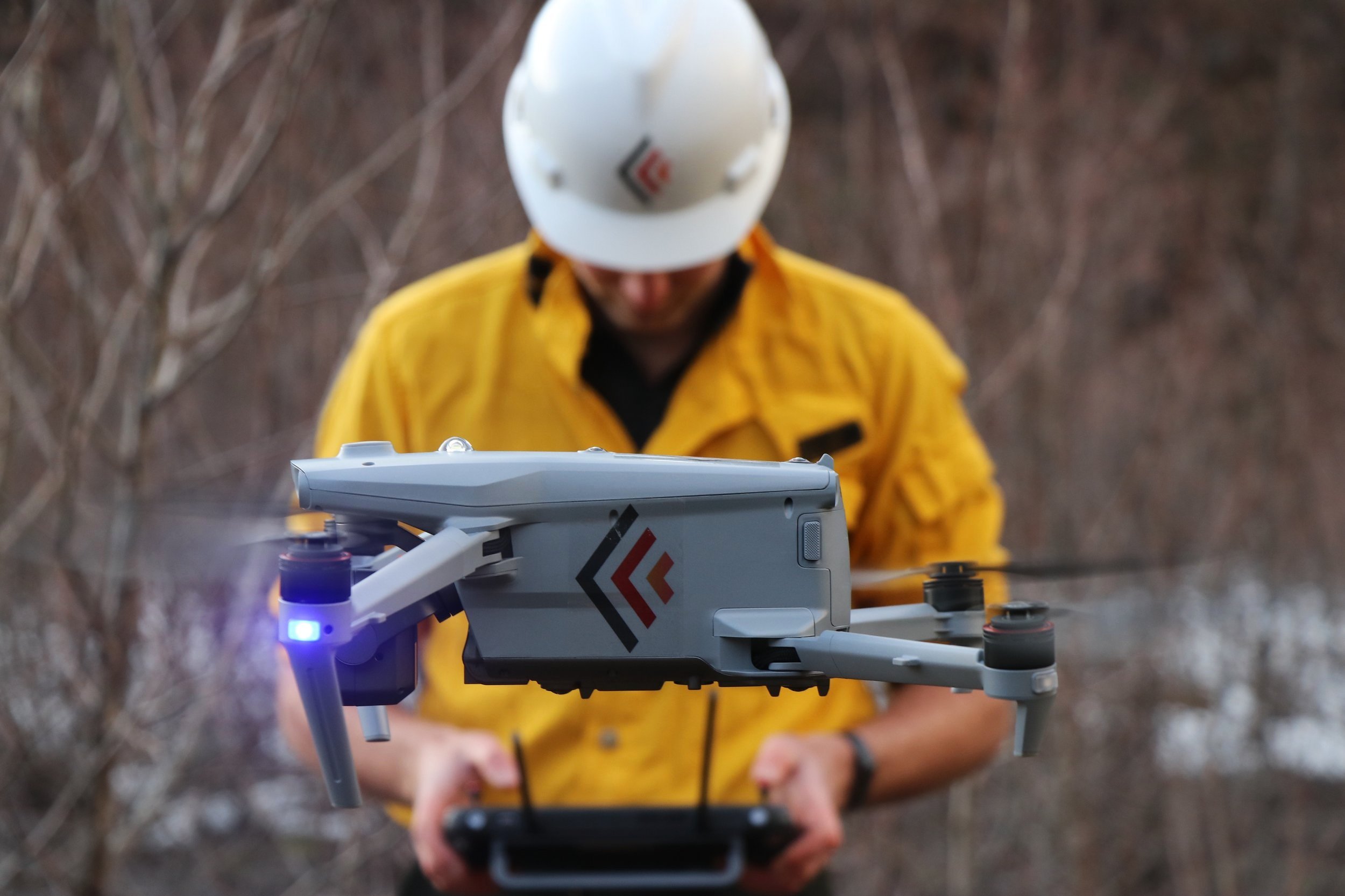
We leverage our decades of expertise in GIS and the newest imaging tech to make maps with drones that pinpoint firelines and hotspots in real time.
No more inaccurate maps. No false positives. No delays.
Our tools.

We are FireIQ.
We value initiative, experience, and drive to solve problems. We’re skilled communicators with a background in mapping, forestry and aviation.
We respect our colleagues, clients, and communities whose lands and traditional territories we work to protect.
We innovate; creativity and optimization are in our DNA.